Lesson 10: The Six Biggest Countries
Upper Elementary World Geography
Review and Warm-up
When we talk about the "biggest" countries, we mean biggest by land size — not by how many people live there. Remember that map projection can make countries near the poles look stretched or larger than they really are. In this lesson, we'll focus on the six largest countries by land mass.
Interactive review activity:
Russia
Russia is the largest country in the world, covering more than 10% of the world's land mass. It is located on the northern coast of both Europe and Asia.
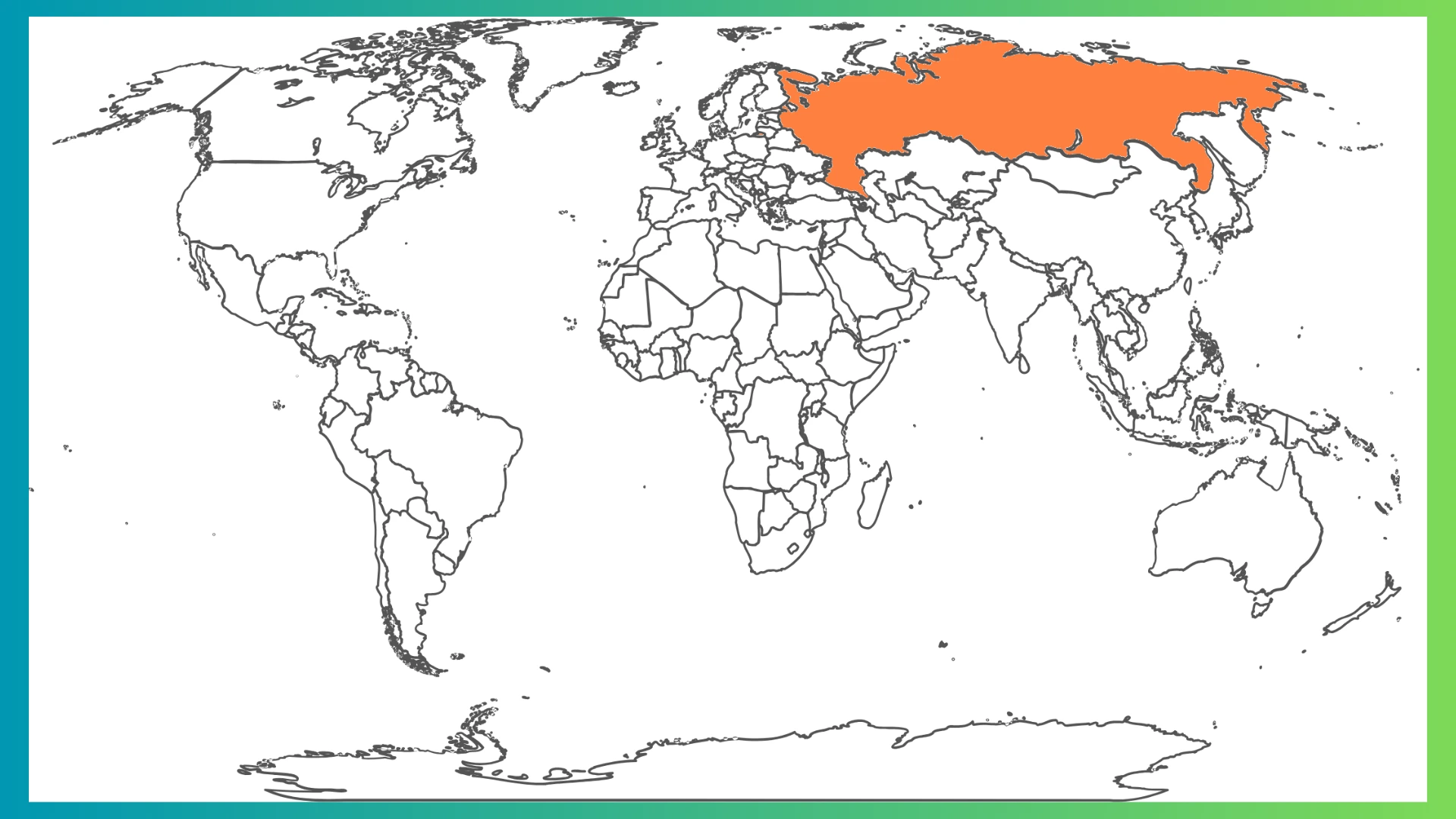
Map projection can make Russia appear different sizes on different maps. Compare these projections:
Canada and the USA
Canada is the second-largest country in the world. The United States is similar in size. Together, they make up most of North America, which has 23 countries total.
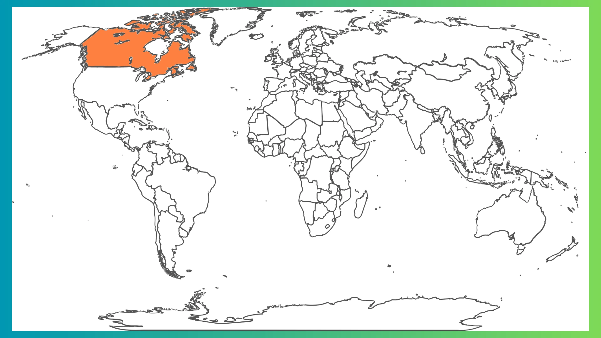
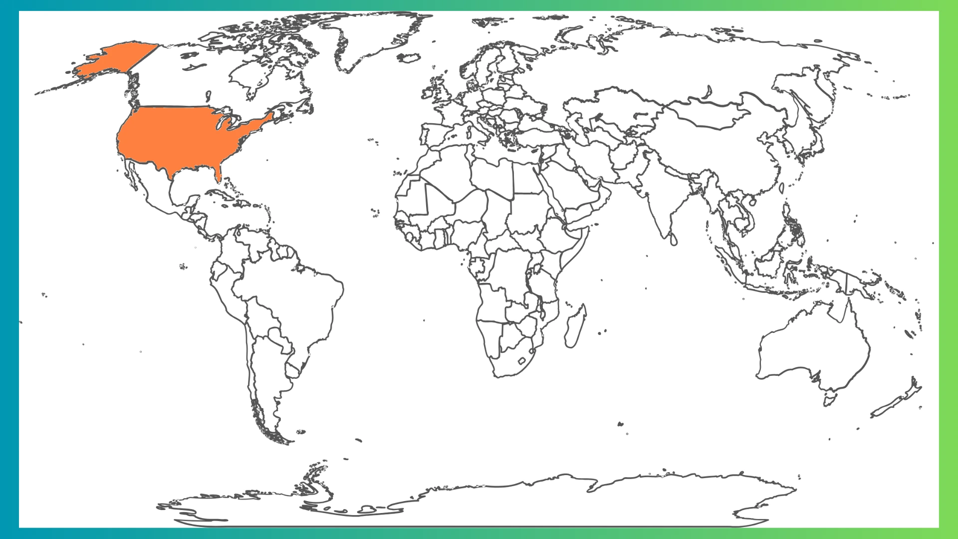
Notice that Alaska is detached from the rest of the USA on many maps. Map projection can also make Canada appear larger than the USA.
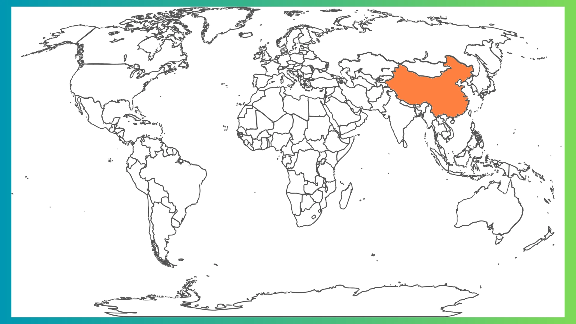
China
China is the fourth-largest country. It's located on the Pacific coast of Asia, south of Russia. China can be harder to identify on a map because it's surrounded by many other countries.
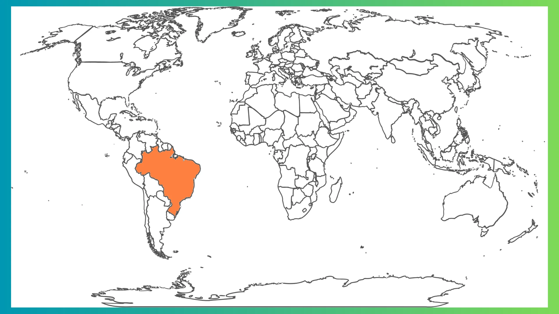
Brazil
Brazil is the fifth-largest country and the largest country in South America.
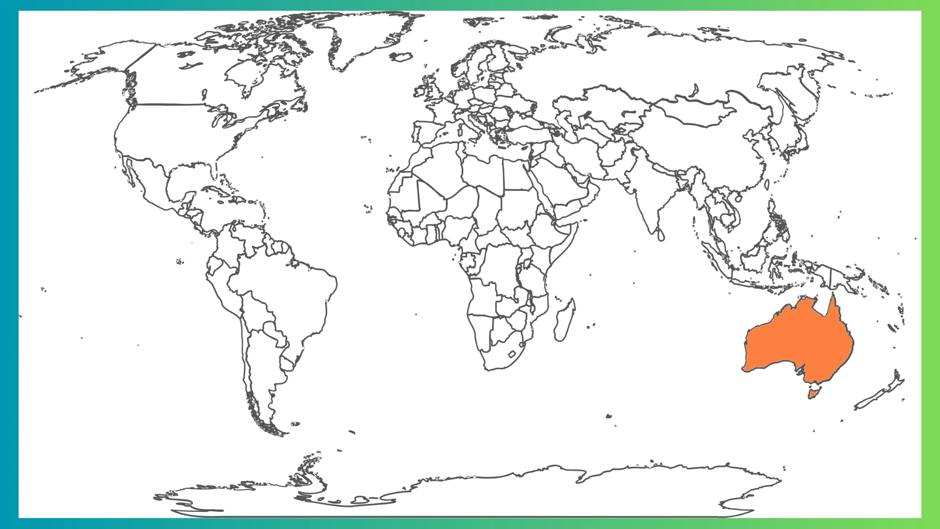
Australia
Australia is the sixth-largest country. It's the only country that is also a continent! It's located in the south Pacific Ocean as a large island.
You've now learned all six of the biggest countries!
Practice
Put the six biggest countries in order from largest to smallest: